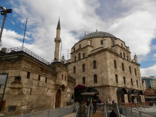
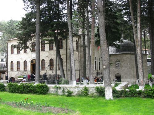
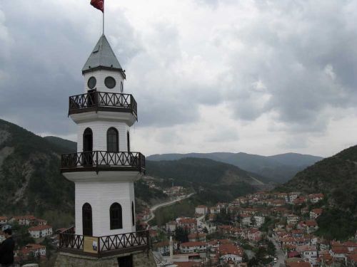
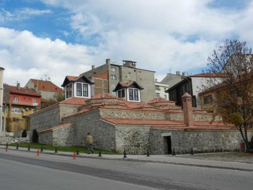
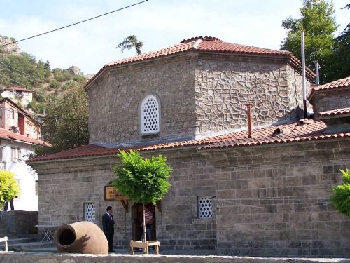
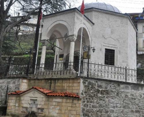
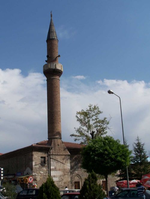
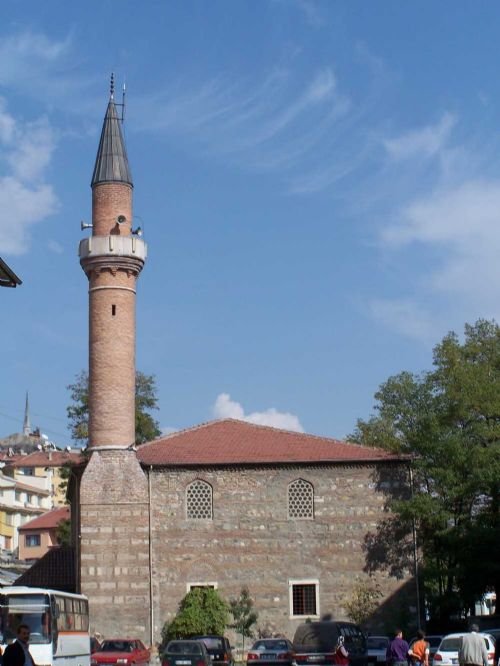
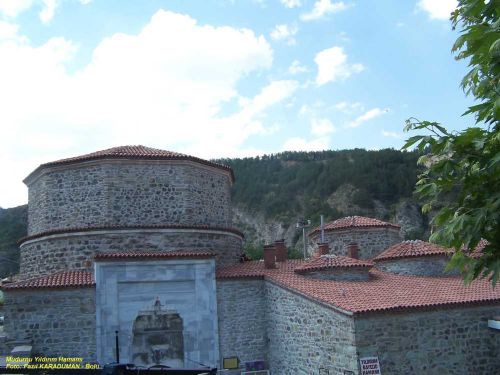
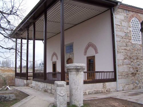
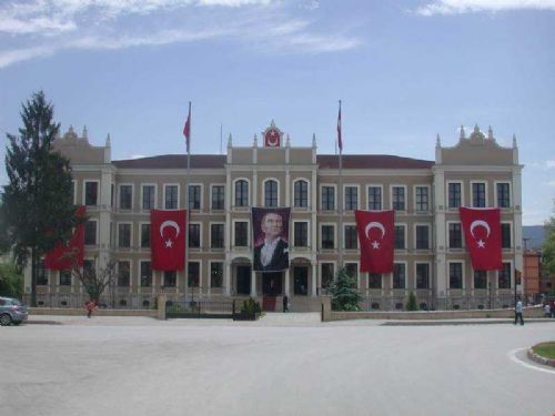
Bolu is the central district of Bolu province and a city with the same name.
GEOGRAPHY
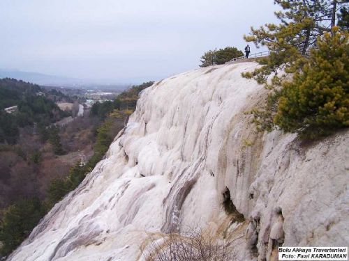
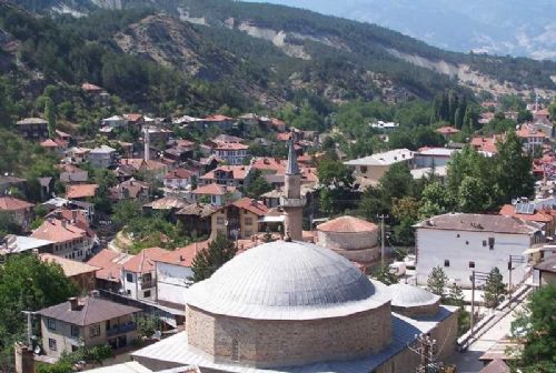
Covering 1,015% of Turkey's surface area, Bolu province is located in the Western Black Sea region of the Black Sea Region with a surface area of 8,323 km²[1]. Approximately 18% of the province's land consists of agricultural lands. Forest areas, on the other hand, have a share of 2.55% in Turkey's forests with a rate of 64%. The area covered by meadows and pastures is about 15%. The remaining 8% of the area is non-agricultural areas.
The average altitude is 1000 m, and the altitude of the central district is around 725 m. In terms of mathematical location, it is between 30 degrees 32 minutes - 32 degrees 36 minutes East longitudes and 40 degrees 06 minutes - 41 degrees 01 minutes North latitudes.
According to Bolu City Center; Dörtdivan, Yeniçağa and Gerede Districts are located in the east, Mengen in the northeast, Göynük and Mudurnu Districts in the southwest, Seben and Kıbrıscık Districts in the south. There are Düzce and Sakarya in the west, Bilecik and Eskişehir in the southwest, Ankara in the south, Çankırı in the east, Zonguldak in the north and Karabük in the northeast of Bolu.
With the separation of Düzce as a province with the Decree Law No. 584 (O.G. dated 09.12.1999 and numbered 23901), Bolu no longer has a connection with the sea.
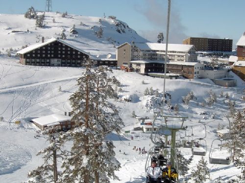
Mountains: Covers 56% of the province's territory. Bolu Mountains in the southwest - northeast direction of the province; the highest point is 1980 m. and Çele Peak, and Abant Mountains (1748 m.), Arkot (1877 m.) and Göl Mountains (1112 m.) in the north of Gerede. In the south, volcanic mountains, which are higher than the first two rows and generally called Köroğlu Mountains (the highest point is 2499 m.), lie. Seben Mountains, the extension to the south of Bolu, is 1854 m. Ardıç Mountains around Mudurnu are 1443 m. Çal Hill in the south is 1640 m. is in height.
Plains: Plains, which cover 8% of the Provincial Area, generally extend in the west-east direction. 725 meters Bolu Plain at altitude and 1300 m. The Gerede Plains on the elevation are the widest. Other plains are Yeniçağa Plain, Mudurnu Plain and Himmetoğlu Plain in the south of Göynük district.
Streams: The most important streams in Bolu are Büyüksu, Mengen Stream, Aladağ Stream, Mudurnu Stream, Göynük Stream, Çatak Stream and Gerede Stream.
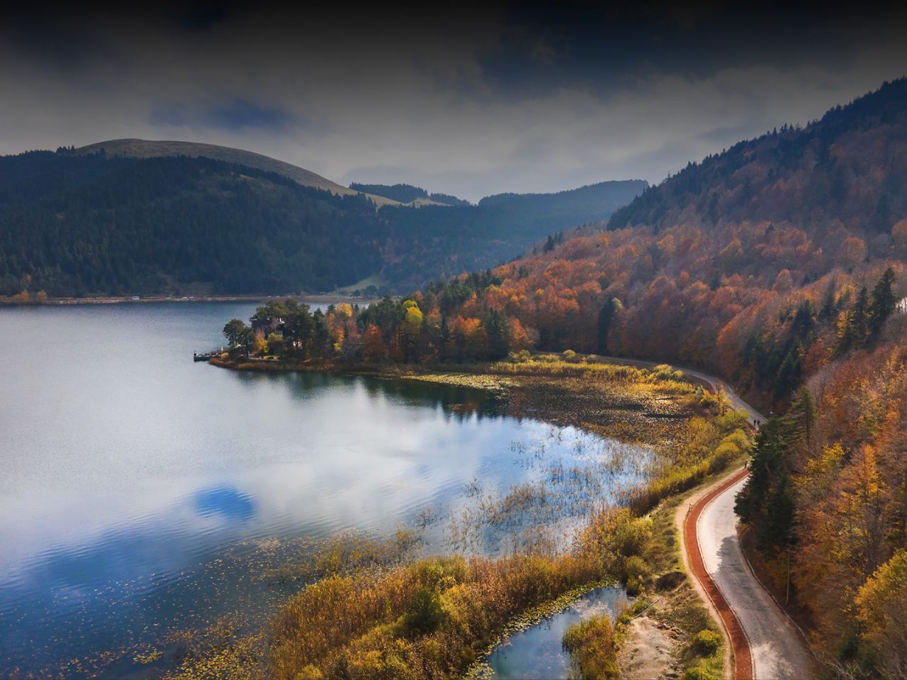
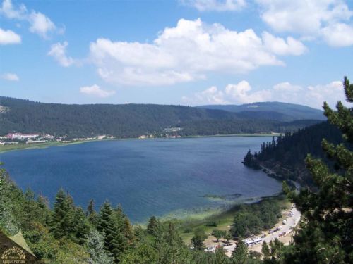
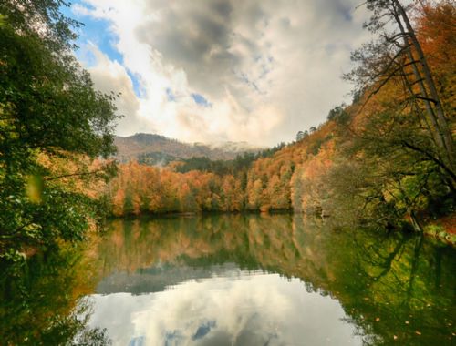
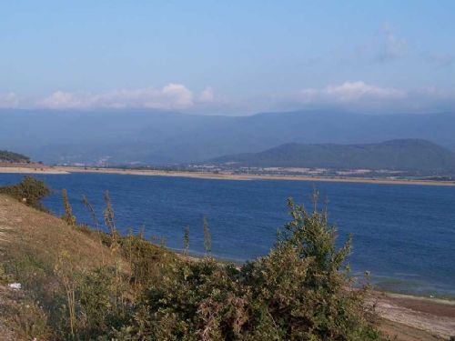
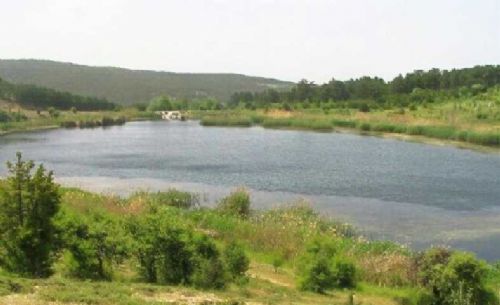
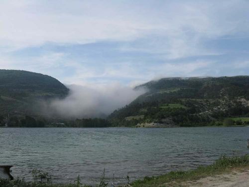
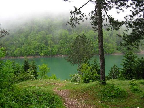
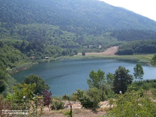
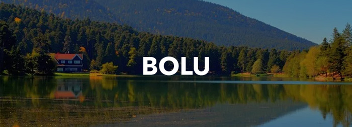
Lakes: Factors such as the complexity of the morphological structure in the region, the large number of rivers, the differences in altitude and the excessive slope have caused the formation of many lakes. The small area of the basins and bowls has resulted in the small area of the lakes. Abant Lake, Yeniçağa, Çubuk, Sünnet, Yedigöller, Karagöl, Sülüklügöl and Karamurat are the most important lakes.
Climate: Bolu is generally located in the Western Black Sea and Black Sea climate types. In addition, Marmara and Central Anatolian climate types are also seen in the southwestern parts. According to the data of the last 52 years, the average daily sunshine duration is 5 hours 49 minutes, the annual precipitation is 536 mm. The annual average number of rainy days is 137 days.
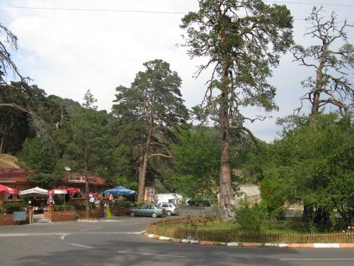
Vegetation: The dominant vegetation in Bolu is forests. 55% of the province's territory is covered with forests. Karadere, Seben and Aladağ Forests are the richest forests of our country. The dominant tree species are beech, hornbeam, linden, ash, oak, alder, elm, poplar, fir and yellow pine. Transportation Bolu, located on the Ankara-Istanbul highway, can only be reached by road.
HISTORY
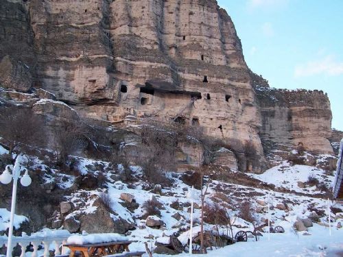
Like all Hittite lands, Bolu was in the hands of the Phrygians in 1200 BC. In the 6th century BC, the Persians dominated the region. In 336 BC, Alexander the Great defeated the Persians and captured Bolu, like many other parts of Anatolia. When Macedonia collapsed upon the death of Alexander the Great, the Kingdom of Bithynia was established in the Bolu region. According to written documents, archaeological artifacts and historical sources from that period, the people who settled in the arc of the Sakarya and Filyos Rivers at the end of the Thracian migrations were called "Bithyn". That's why Northwest Anatolia, including Bolu, was called "Bithynia". Bolu Plain and its surroundings, called Salonia Campus by the Bithyns, were changed to "Claudio Polis" by the Romans. It is thought that the name Bolu comes from "Police". The city, which was built on three hills, had inner and outer walls. The ruins of these walls can be seen in the Carpet Fortress area in the north of the city. After the 1071 Malazgirt victory, the Turkmens who spread to the west settled in Bolu 3 years later. The commanders of the Seljuk State Artuk, Tutuk, Danishmend, Karateki and Saltuk Beys, under the command of Süleyman Shah, reached the border of Istanbul. During these raids, Bolu was conquered by the Khorasanli Aslahaddin.
The Ottoman invasion of Bolu Region was started by Osman Gazi for the first time. The complete conquest of the Bolu region coincides with the first years of the Orhan Gazi period (1324 - 1326). According to another rumor, the region was named as "Bol Uluğ" in the past and as "BOLU" in time due to the abundance of Uluğ - Scholar in the region during the Ottoman period. Bolu was the scene of the war of princes, which started with the death of Yıldırım Beyazid, many times. Bolu was excluded from the regions plundered by Timur after the Battle of Ankara.
Between 1324 and 1692, Bolu was a sanjak principality with 36 districts. XVI. In the 19th century, Bolu became one of the second-degree Şehzade sanjaks. During the reign of Bayezid II, Prince Süleyman (Kanuni) was appointed here. Between 1683 and 1792, Bolu was ruled by voivodeship. II. During the reign of Mahmut, it was transformed into a governorship. (1811) Bolu after the Tanzimat; It was connected to Kastamonu province (1864). In 1909, it was converted to the governorship again.
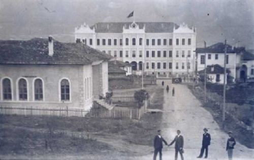
After the Armistice of Mudros came into force and İzmir was occupied, the first Defense of Law Society in the Bolu region was organized in Gerede. Bolu was not invaded by the enemy during and after World War I, but it suffered material damage. At the end of the periods of national struggle under the leadership of Mustafa Kemal Pasha, Bolu completed the period of governorship on October 10, 1923 and became a province.
